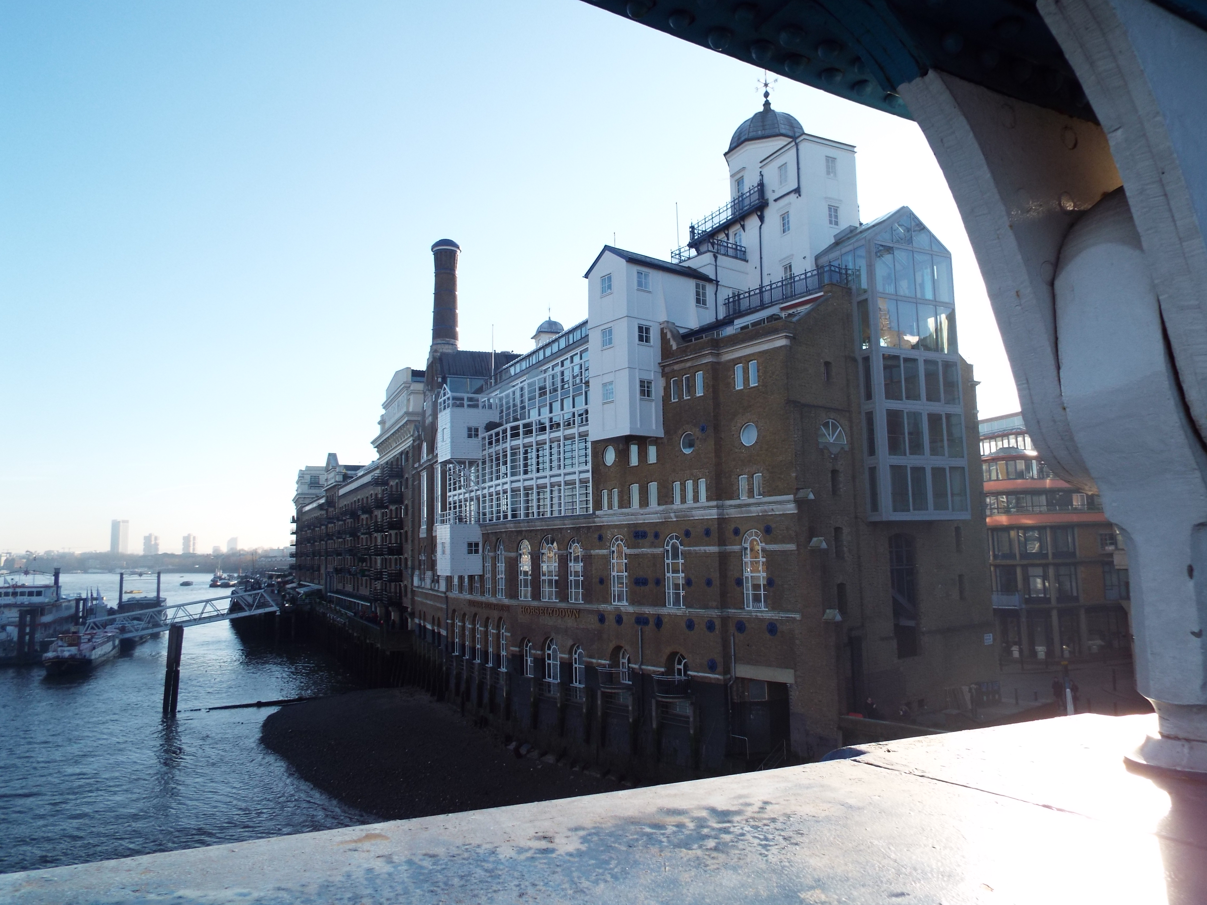
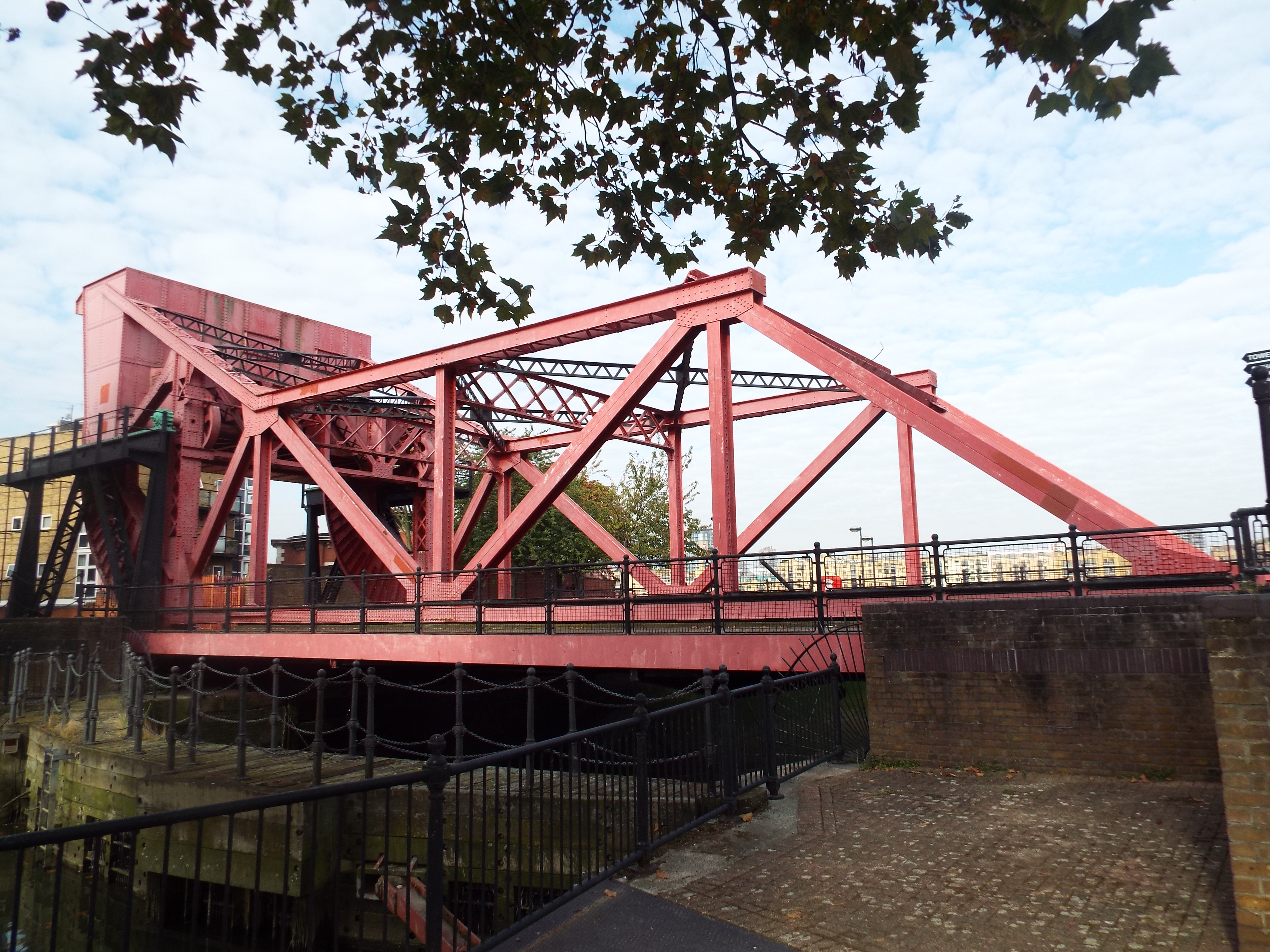
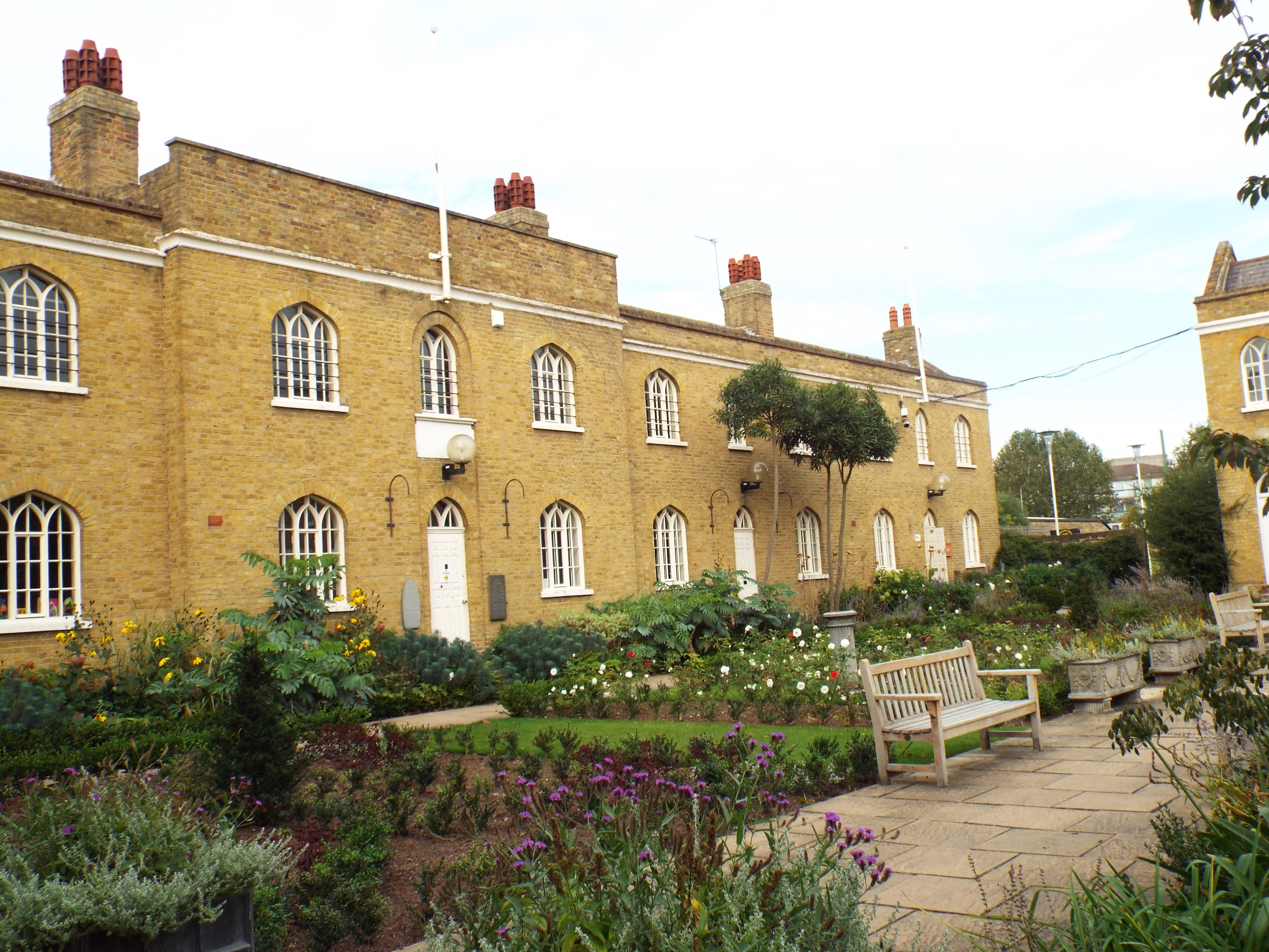
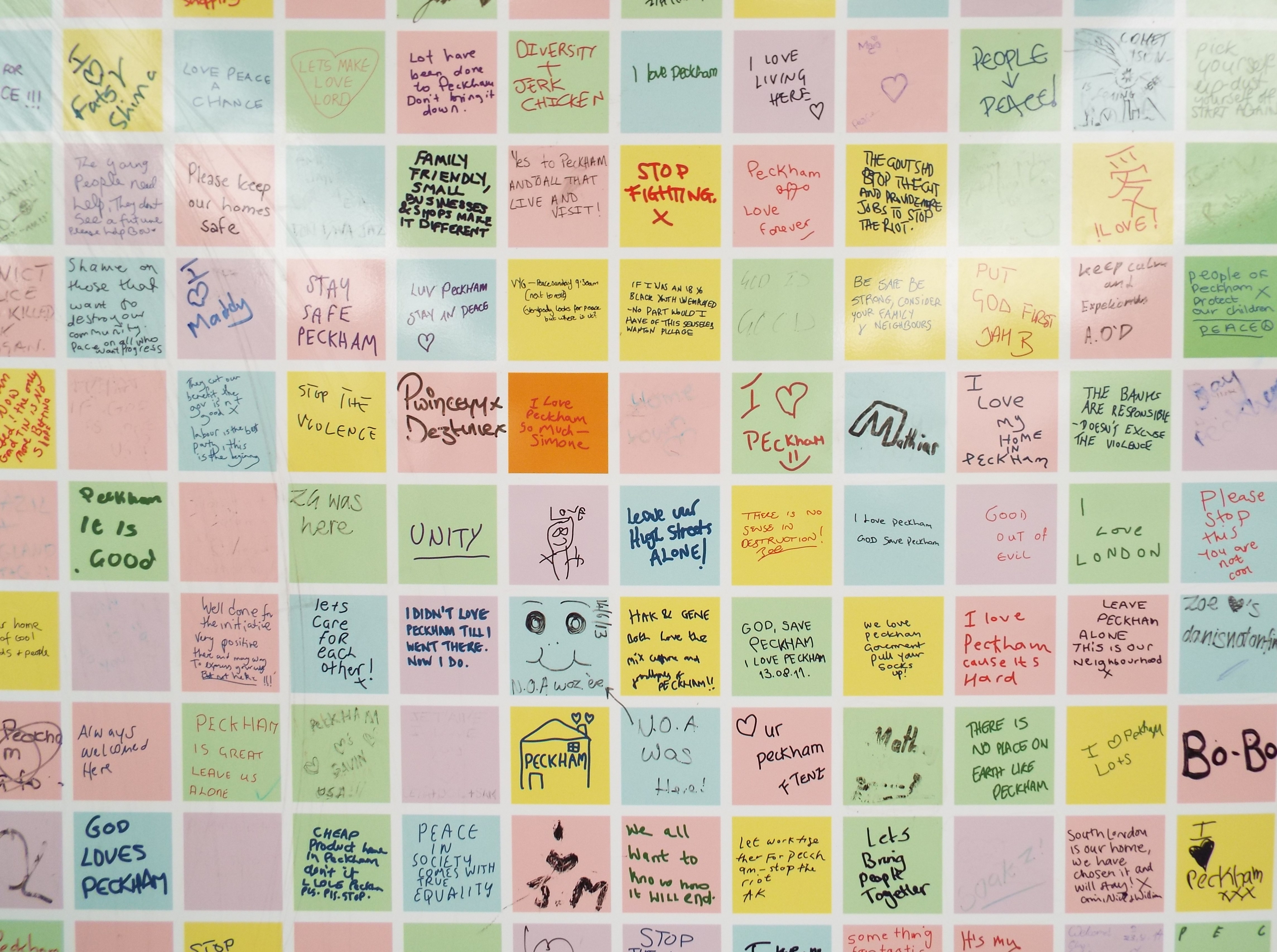
Exploring Southwark and discovering its history
 Search


Roman Bankside
The Roman amphora to the left was on display at London Bridge Station from 1999 to 2014 at the top of the escalators on the Jubilee line. It had been discovered nearby during works to the extension to the Jubilee line. After being on display for 15 years, it had become dirty and required further conservation work. This was undertaken by ceramic conservation students at West Dean College in Sussex which involved dismantling the 126 fragments, cleaning, reassembling and rebonding. The amphora has now been returned to the Museum of London's archaeological store.


North Southwark is truly a historic area with many archaeological finds over the last decades showing that the Roman settlement in Bankside and Borough was quite significant. The Romans viewed this area as an extension of Londinium which shared in its prosperity where high quality mosaics and wall-paintings have been discovered. Archaeological finds show a busy community with industry, and expensive masonry buildings suggest an administrative-military presence, indeed it is likely that the Romans created a rudimentary military settlement in Southwark before crossing over to what became Londinium.
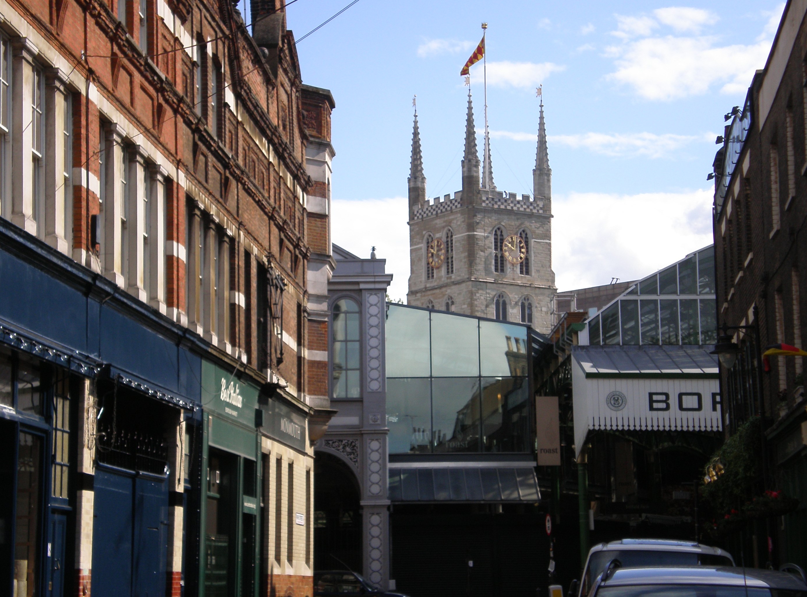
Soon after invading, the Romans built roads including Watling Street which ran from Canterbury in Kent to St Albans via Londinium, and Stane Street which ran from London to Chichester. These two roads converged in an area close to today’s Borough Station. The area to the north of this spot was mostly marsh with the area closest to the river consisting of low-lying sandy and gravelly islands intercut with water channels running from the River Thames. However, the strip of land that roughly corresponds with today's Borough High Street was higher and sandy and this became the approach road that joined the point where Watling Street and Stane Street met to the wooden bridge the Romans had built to cross the river to Londinium. This bridge was located a few metres downstream from the present bridge and a settlement quickly developed that followed the approach road as traders and industry hoped to benefit commercially from a constant stream of people travelling from Kent and the South to the City. So next time you travel along Borough High Street, pause to think people have been travelling along that route for nearly 2,000 years!
The Romans began to reclaim the land along the river in about 70 AD with a series of embankments and infill which decreased the risk of flooding and made it possible to build on the former marshy land. Excavation works under the medieval Winchester Palace revealed a substantial and palatial Roman masonry building which included a bath house with caldarium and plunge bath and fitted with underfloor heating or hypocausts. Archaeologists were able to reconstruct from fragments a wall painting in yellow, green and red of Cupid holding a plate and standing among garlanded pillars. The wall plaster was imported from Italy and of high quality which suggests the building was of high status occupancy, perhaps part of it formed a residence for an official of the Roman administration in Londonium.
The Roman military presence on Bankside was probably only temporary whilst the military skills of engineering, road and bridge building, land drainage and the building of revetments or waterfronts were utilised. It was possible to moor boats on these waterfronts for loading and unloading goods and some limited trading took place in this way. Navigable channels ran from the river on the South Bank which enabled delivery and collection of goods locally and the remains of a Roman flat-bottomed lighter have been found near Guys Hospital. Discarded oysters shells and timber tanks possible for the storage of live river produce such as fish ells and oysters were also found at the same excavation works.
Excavation at Southwark Cathedral has revealed it was built on the site of a substantial Roman building, possibly a villa. Tessellated pavements have been found in the church-yard and at the northern end of the cathedral and a well has been discovered under the Choir. In the crypt, three religious artefacts have been found: a hunter accompanied by a dog and deer, part of a sea god made of Greek marble which is thought to be either Oceanus or Neptune, and a figure made of sandstone thought to be of Genius, a god which is attributed to a particular place such as the home.
Further south, remains of two Romano Celtic temples and a villa dating to the mid second century have been found in Tabard Square which faced onto a piazza or open space. There were remains of three plinths which were probably the foundations of statues. A plaque was found on this site in 2002 and made of white marble, it bears an inscription which, when translated, reads:
"To the spirits of the emperors (and) the God Mars Camulos, Tiberinius Celerianus, ranking moritex of the (traders) of London (set this up)."
The god Mars Camulos was worshipped in the Rheims, a wine producing district of France, which suggests the supplicant Tiberinius Celerianus originating from this region. It is believed that moritex means negotiator so it’s likely Tiberinius Celerianus was a wine trader from Rheims in Londinium to import wines.
Archaeological work was undertaken when the extension of the Jubilee line was built and discoveries included a row of houses, shops and workhouses built around 50AD that lined the approach road. The buildings were rectangular and built of clay and timber frames, with thatched or tiled roofs. Some buildings had wooden floors but most had hearths, mainly domestic in nature, but several of these hearths may have been used for industrial purposes as they had associated iron waste. These buildings were destroyed by fire in the first century as fire debris has been found. Possibly the fire may have been started by Boudicca when she set fire to Londinium in 60 AD but as the buildings were used for industrial purposes and the fire may have been caused in other ways. The settlement was rebuilt in the late first century/early second century with further clay and timber buildings and some masonry buildings. The new buildings were now set back about 6m from the road which perhaps formed a market or pedestrian area and archaeologists believe that amongst the buildings were a bakers, a butchers and a blacksmiths.
Excavations on the site of the former Courage brewery site, formerly the Barclays Perkins Brewery, in Park Street revealed a series of clay and timber houses, shops and workshops, and later stone houses from the second century. These excavations showed there was iron and copper alloy working and combs, buttons and knife handles made from red deer antlers. On the same site a timber warehouse was found close to the river, sunk into the ground and, as it was cool and damp, ideal for the storage of food and wines.
Archaeology works were undertaken during the course of the upgrading of the railway line from London Bridge to Waterloo and the rebuilding of London Bridge Station. In September 2011, Network Rail announced remains of a Roman Bath House had been found on the corner of Borough High Street and London Bridge Road. More information can be found here.
The decline of Roman Southwark started before the Romans left Britain in 410 AD as the settlement had reduced to the area around the bridgehead by about 350 AD. When the Romans returned to Rome, just as Londinium was abandoned and the city left to decay, so too was the area on the south bank and it quickly became unpopulated.
Online recommendations
- UK Casino Not On Gamstop
- UK Casino Not On Gamstop
- Non Gamstop Casino
- Casinos Not On Gamstop
- Non Gamstop Casinos
- Non Gamstop Casinos
- Non Gamstop Casino
- Casinos Not On Gamstop
- Casino Sites Not On Gamstop
- Slots Not On Gamstop
- Casinos Not On Gamstop
- UK Betting Sites Not On Gamstop
- UK Casino Not On Gamstop
- Best Non Gamstop Casinos
- Betting Sites
- Non Gamstop Casino Sites UK
- Best Non Gamstop Casinos
- Non Gamstop Casino
- Casinos Not On Gamstop
- Non Gamstop Casino Sites UK
- Horse Racing Betting