Exploring Southwark and discovering its history
 Search


Potters Fields Park is an open space by the River Thames, popular with residents, workers and tourists alike. It surrounds City Hall, home of the Mayor of London and the Greater London Assembly, and is overlooked by Tower Bridge to the east and the Tower of London on the other side of the Thames. It is one of the few riverside spaces in central London and the result of a merging of a former recreation ground that had been created from a disused burial ground with an open space created in the 1970s when former riverside warehouses and wharves were demolished. The park’s name links the two areas for coincidentally both are able to claim, in different ways, the origins of the name Potters Fields. There is also a short street named Potters Fields running along the east side of the park which in the 19th century linked the two areas.
The southern area of the park was leased to the parish of St Olave (St Olaf’s House link in Tooley Street at the west end of Tooley Street was built on the site of the church) by the Free Grammar School of Queen Elizabeth (St Olave’s School). The parish required more ground for burials and the additional burial ground, leased for 500 years, was consecrated in 1586. Potter’s field is a term that refers to a burial ground for paupers or people from outside the area. A map of 1682 names the burial ground as Pott’s Fields.
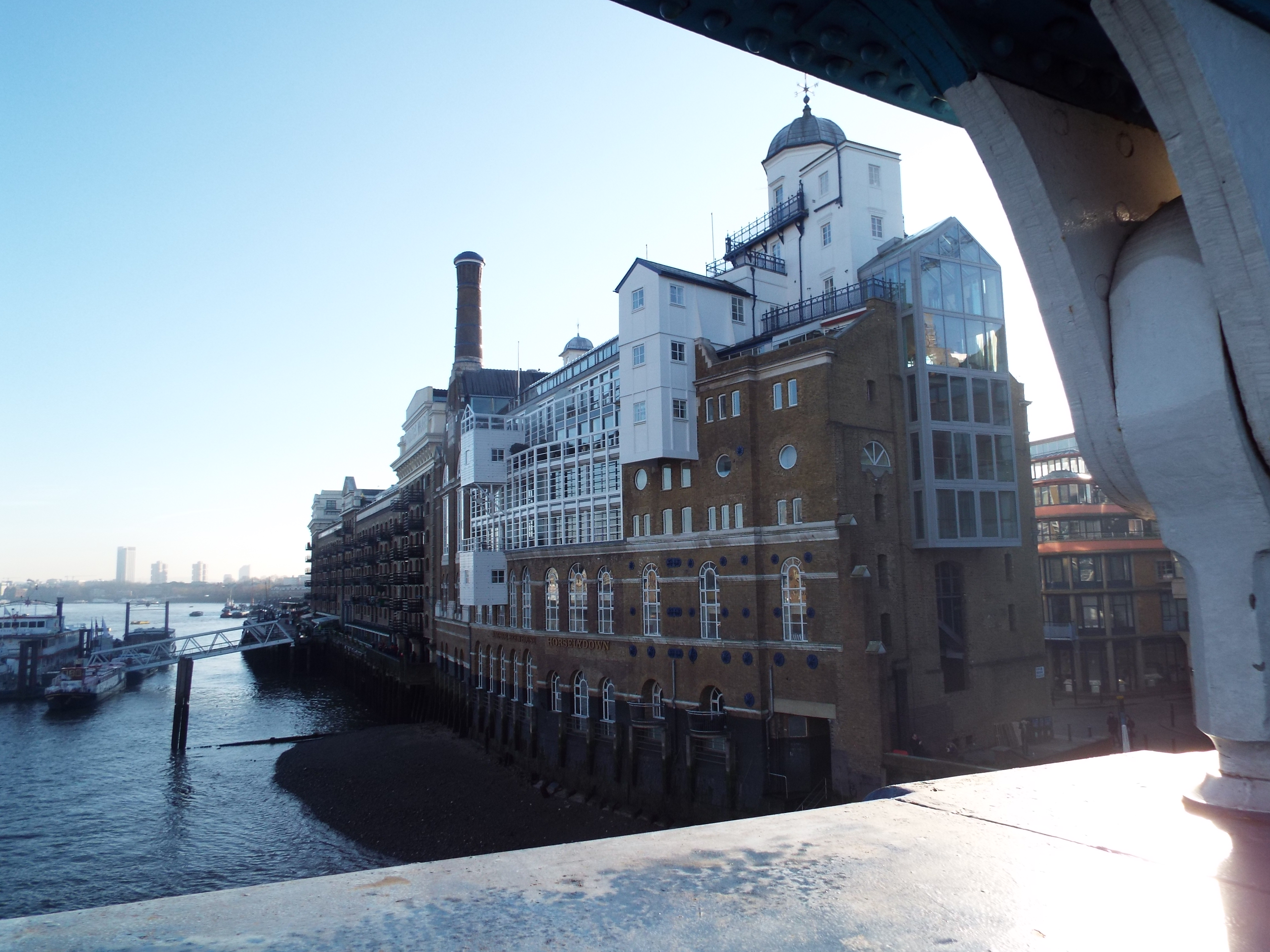
To the north, by the riverside and very close to the location of The Scoop, a pottery was opened some time before 1618 by Christian Willhelm where very fine Delftware was made. Southwark became a centre for the manufacture of Delftware in the 17th century and it’s thought that Christian Willhelm’s factory was the first. Called the Pickle Herring Factory, after Pickle Herring Stairs nearby leading up from the river, it employed about 40 potters and was in operation, under various owners, until the early 18th century.
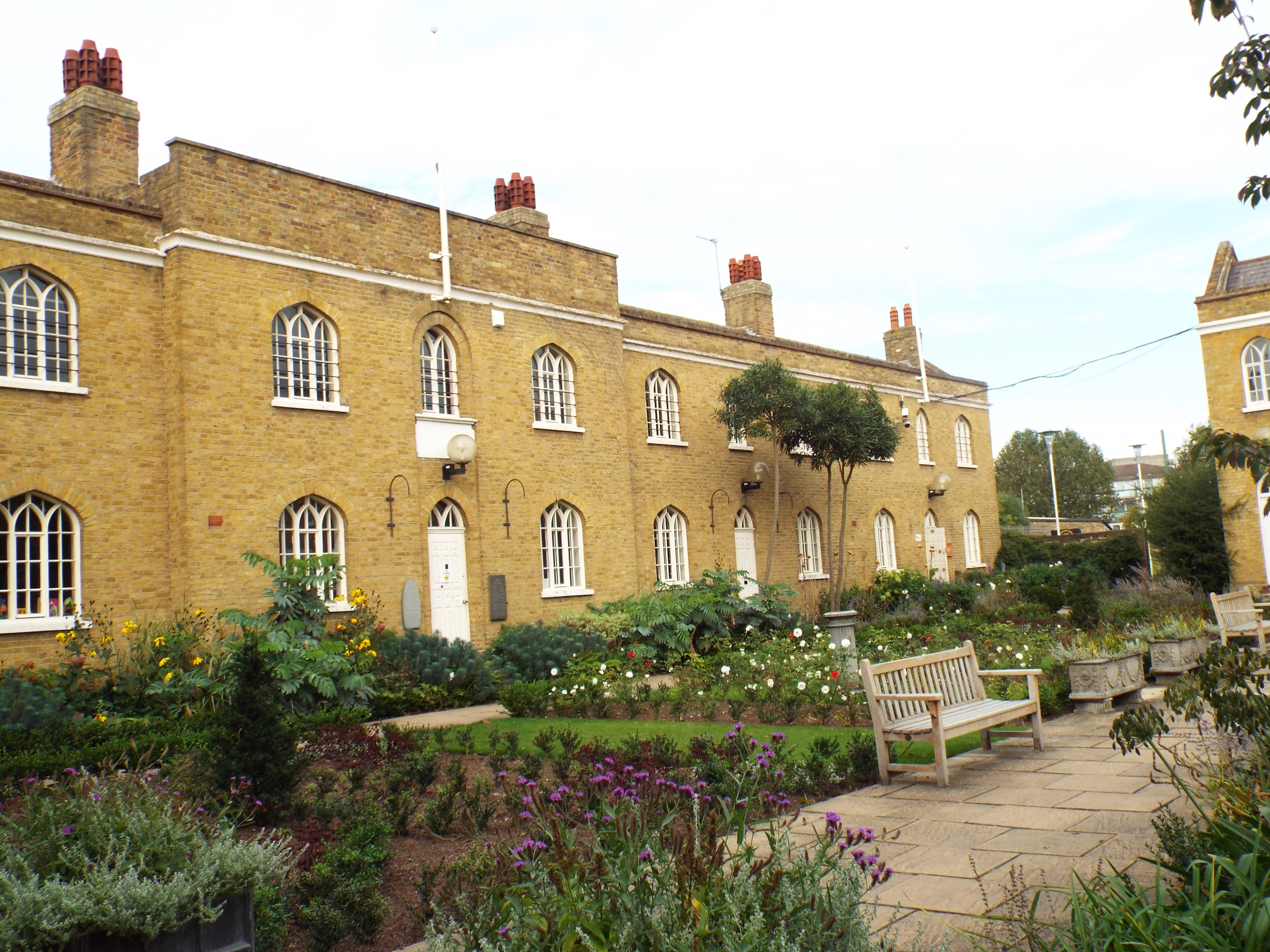
By the early part of the 19th century, burial grounds were becoming grossly and dangerously over-crowded and the connection was made between outbreaks of disease and the insanitary conditions in graveyards. An Act of Parliament in 1853 prevented further burials within London and many existing burial grounds were closed. The St Olave’s burial ground annexe in Tooley Street was closed in 1853. Those who sought the closure of the burial grounds also pressed that the land be used as public open space rather than being built upon and it became illegal to build upon any ground that had formerly been used for internments. The former burial ground was laid out as a recreation ground by the St Olave’s Board of Works in 1888 when they also acquired the freehold. Also called Tooley Street Garden, it was mainly asphalted and said to be well used and neatly kept. There are some tombstones still remaining within the park that are lined up along the south eastern boundary.
Potters Fields Park
1893 map showing the approximate area of Potters Field Park and City Hall, including The Scoop
Planting to the south of the park over the former burial ground / recreation ground.
Other than this small oasis, by the end of the 19th century the area had been densely built upon. Wharves and warehouses had been built right up to the river from the recreation ground and by the early 20th century, the Hay’s Wharf company had acquired the entire river frontage from London Bridge to Tower Bridge.
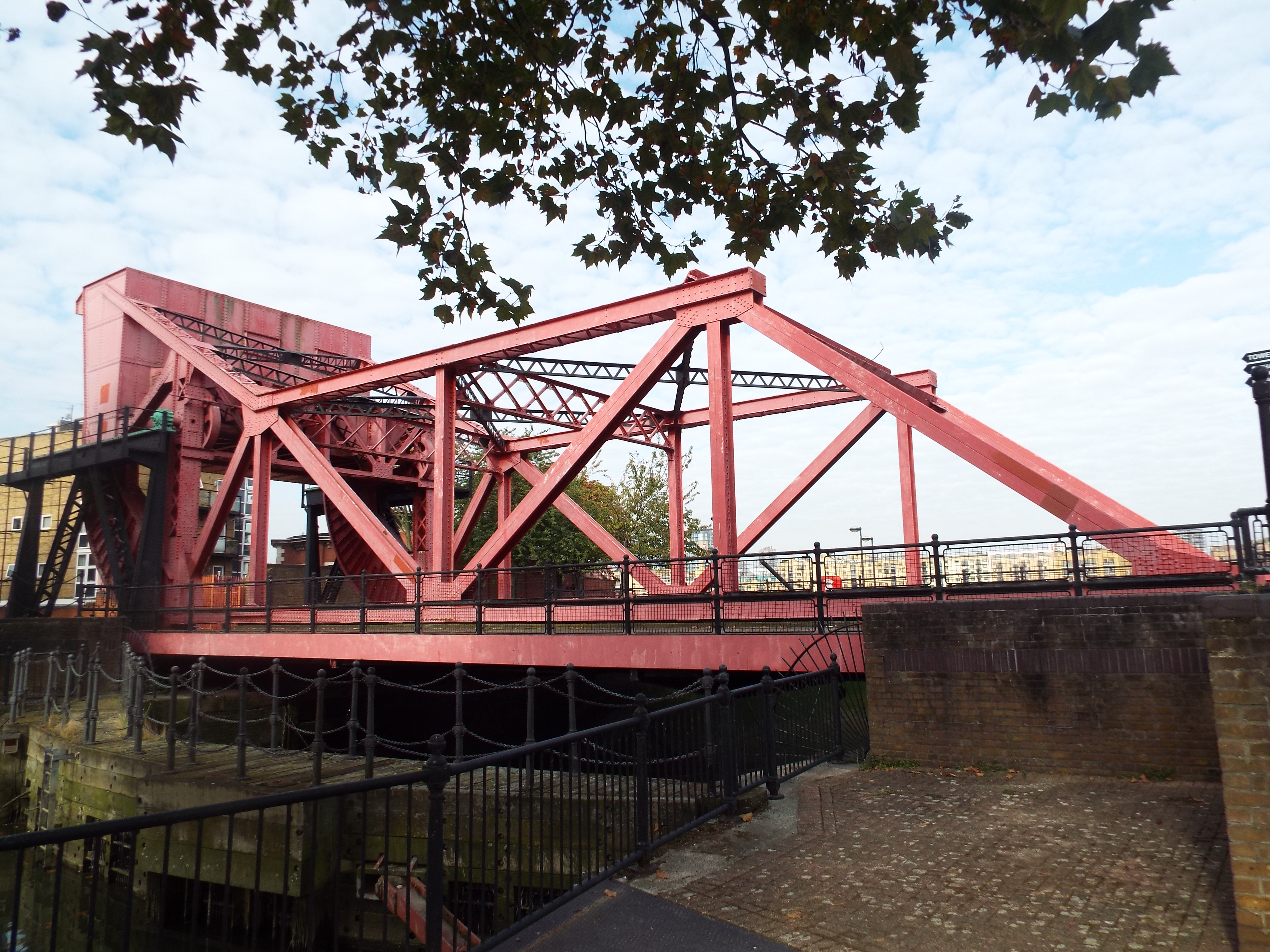
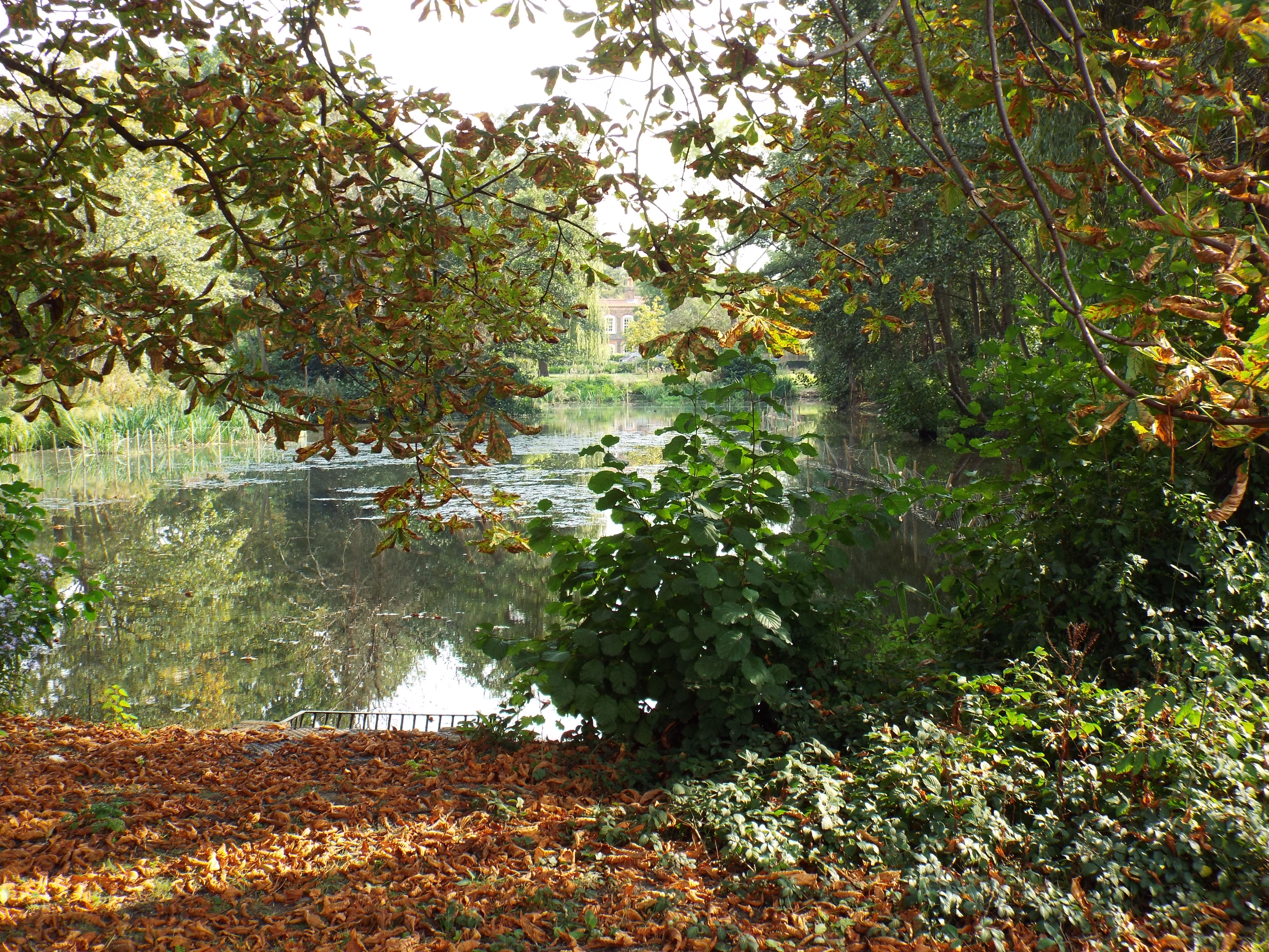
When Hay’s Wharf closed their operations in 1969, the area was partially cleared and became abandoned and desolate. London Bridge City was planned in two phases: the first phase saw the redevelopment at the London Bridge end reasonably quickly but development at the Tower Bridge end stalled. The William Curtis Ecology Park, Britain’s first urban ecology park was established temporarily on derelict land that included the site of the park in 1976 and remained until 1985.
Still plans for development of the cleared land immediately west of Tower Bridge Road had not been finalised. As a result of an active community campaign, provision was made to include for a riverside walkway and a 3 acre public open space that joined the recreation ground to the south with the riverside land to the north. The property developers, St Martin’s Corporation, and Southwark Council intended the park be known as London Bridge City Park but the local community, unhappy with this name, prevented the official opening in 1988 and held their own opening ceremony when the park was named Potters Fields Park.
The ownership of the area changed hands and eventually the surrounding land was developed – City Hall opened in 2002, More London in 2003 and the controversial development One Tower Bridge is currently being built (2015). The Scoop, an amphitheatre built adjacent to City Hall holds a programme of free events, including a theatre festival and a film festival.
The park underwent extensive refurbishment in 2006 which created new landscaping that included a new layout of paths, new lawns and bedding areas with modern planting. The park is managed by a Trust that includes representatives from the GLA, Southwark Council, More London Developments, Team London Bridge, Shad Thames Residents Association and Fair Street Community Housing Services.
http://pottersfields.co.uk/
Web discoveries
- UK Casino Not On Gamstop
- UK Casino Not On Gamstop
- Non Gamstop Casino
- Casinos Not On Gamstop
- Non Gamstop Casinos
- Non Gamstop Casinos
- Non Gamstop Casino
- Casinos Not On Gamstop
- Casino Sites Not On Gamstop
- Slots Not On Gamstop
- Casinos Not On Gamstop
- UK Betting Sites Not On Gamstop
- UK Casino Not On Gamstop
- Best Non Gamstop Casinos
- Betting Sites
- Non Gamstop Casino Sites UK
- Best Non Gamstop Casinos
- Non Gamstop Casino
- Casinos Not On Gamstop
- Non Gamstop Casino Sites UK
- Horse Racing Betting